by Chris Kirchhoff | Feb 23, 2026 | Laser Scanning and Revit Based 3D Models
At 5D Geo, we take our name from the five dimensions of BIM — 3D geometry, time and cost. It is a deliberate statement of intent. A 3D model of existing conditions is only the starting point. What matters is what you do with it, and whether it was built accurately...
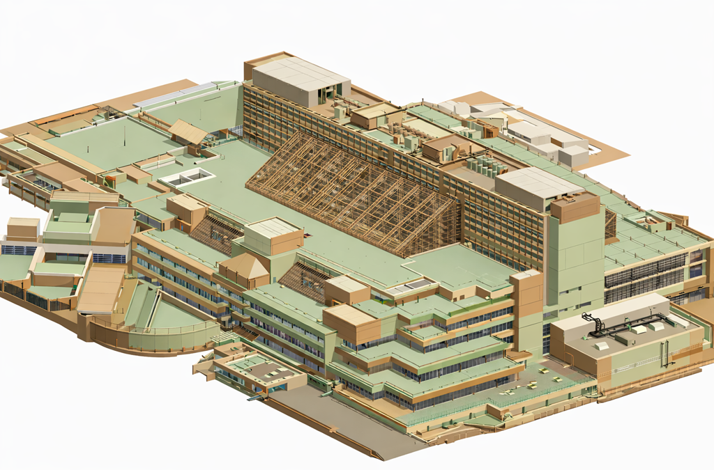
by Chris Kirchhoff | Feb 11, 2026 | Laser Scanning and Revit Based 3D Models, PointClouds
Laser scanning lets us capture 100 million spatial coordinates in hours. Brilliant technology. But I’m seeing too many projects where we just stop there. The client gets 5GB of point cloud data and we say “Here’s everything – you work out what...
by Chris Kirchhoff | Feb 6, 2026 | PointClouds
First published in Imesa Magazine Imagine Fortnite™ meets Minecraft™ meets the real-world city you live and work in – what a computer game that would be. Imagine working in a data rich 5D onscreen world that updates in real time and in which you can play “what...
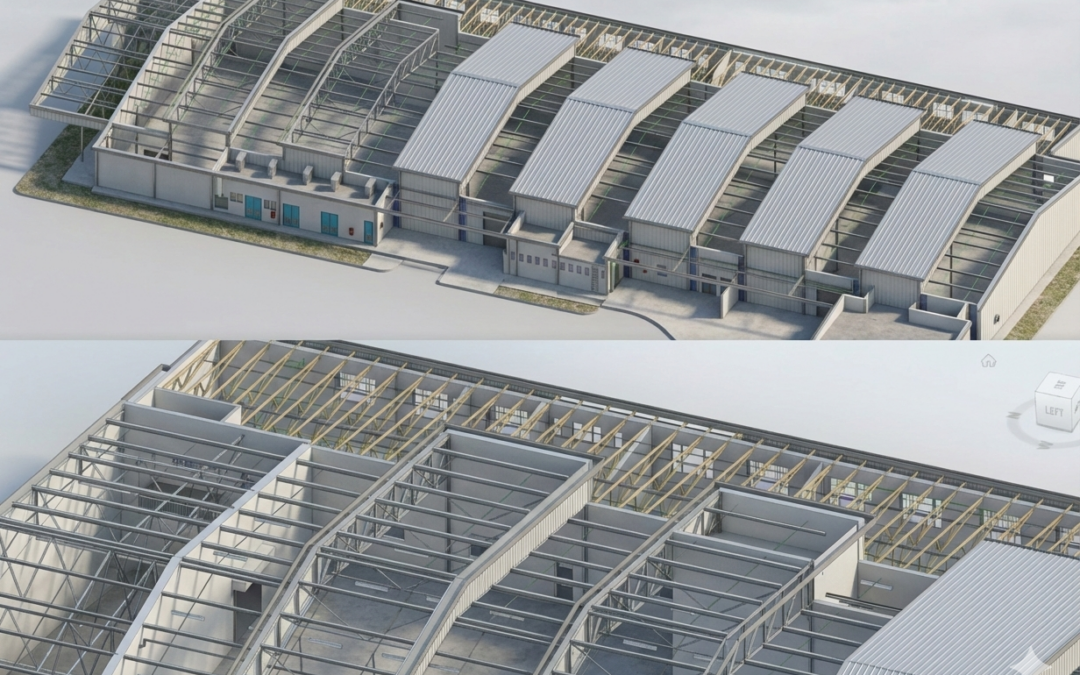
by Chris Kirchhoff | Feb 2, 2026 | Laser Scanning and Revit Based 3D Models
In the modern AEC (Architecture, Engineering, and Construction) landscape, we have crossed an important threshold. Project complexity and compressed programmes have reached a point where selective spatial project information is no longer a starting position. It is a...
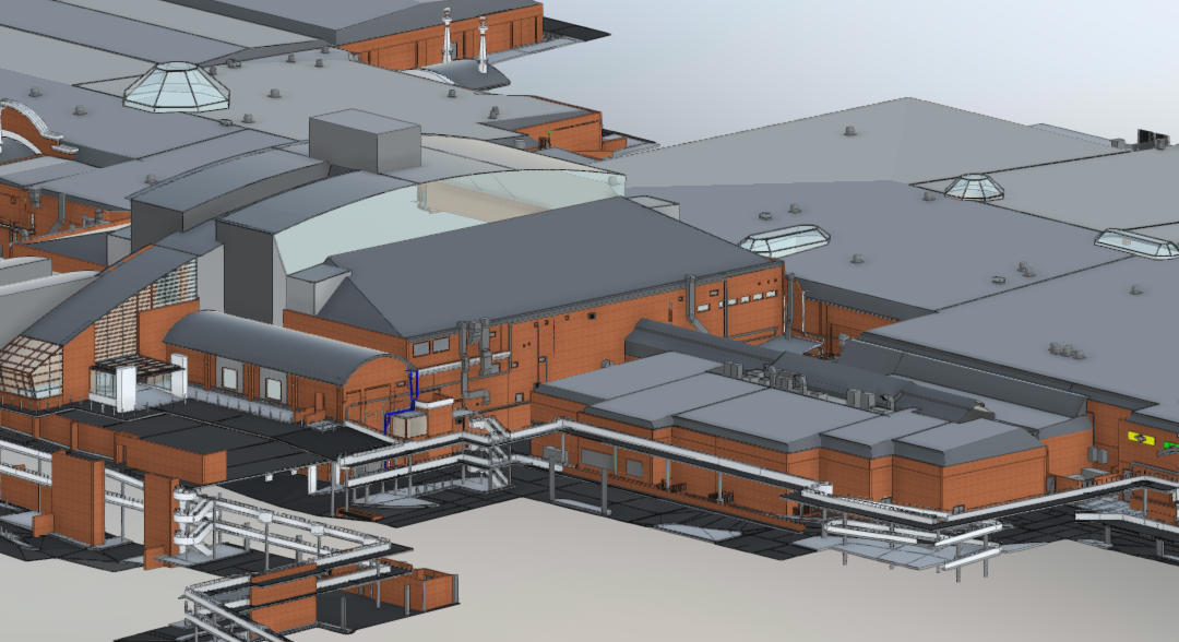
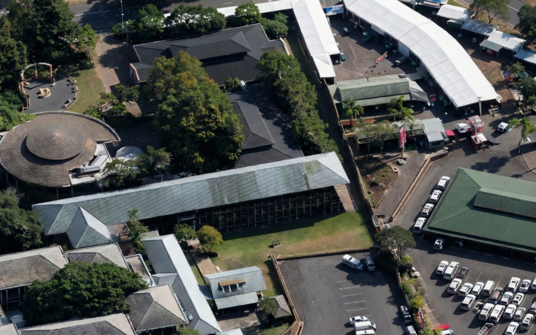
by Chris Kirchhoff | Jan 22, 2026 | Revit
Refurbishing existing buildings rarely starts with reliable information. In South Africa, original as-built drawings are often missing, outdated, or disconnected from what actually exists on site. Alterations accumulate over decades, undocumented and unverified, until...