by Chris Kirchhoff | Feb 23, 2026 | Laser Scanning and Revit Based 3D Models
At 5D Geo, we take our name from the five dimensions of BIM — 3D geometry, time and cost. It is a deliberate statement of intent. A 3D model of existing conditions is only the starting point. What matters is what you do with it, and whether it was built accurately...
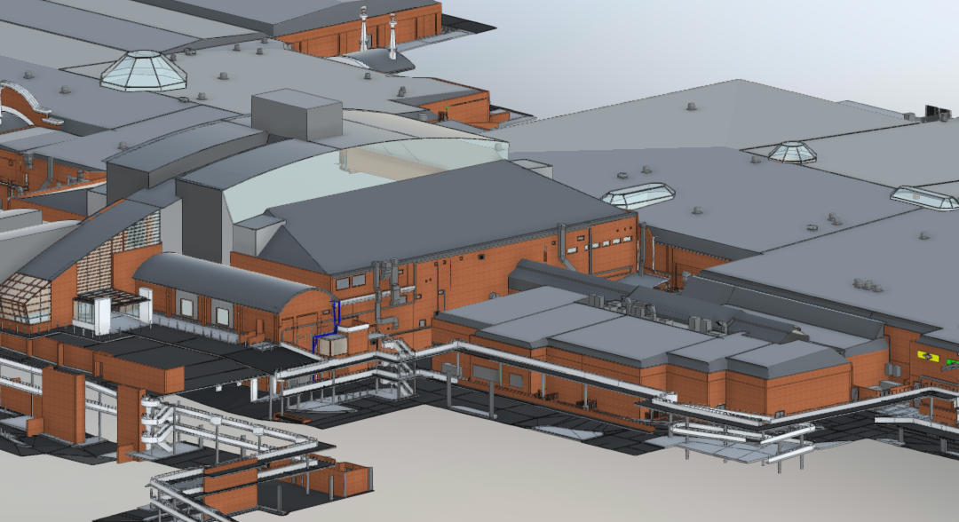
by Chris Kirchhoff | Feb 11, 2026 | Laser Scanning and Revit Based 3D Models, PointClouds
Laser scanning lets us capture 100 million spatial coordinates in hours. Brilliant technology. But I’m seeing too many projects where we just stop there. The client gets 5GB of point cloud data and we say “Here’s everything – you work out what...